0
Britain set for wintery U-turn as bitter Polar winds push in from north
May 4, 2026
Posted 2 hours ago by
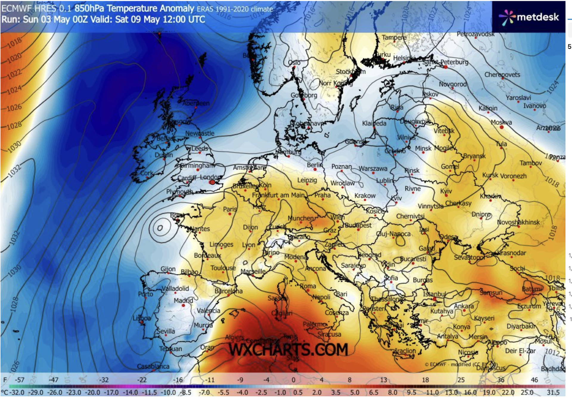
Britain’s warm spring is about to make a U-turn as northerly winds could drive temperatures in some northern regions sub-zero and bring a flurry of snow.A battle between tussling pressure systems and the Polar front threatens to follow one of the warmest Aprils on record with a wintery chill.Bitter gusts will blow in during the start of the week with the heftiest temperature tumbles expected in Scotland and northern Britain.Met Office meteorologist Alex Deakin said: “We are potentially getting something cooler heading in from the north, because there is some colder air trying to push in.
TRENDING Stories Videos Your Say “That may well make inroads across Scotland and Northern Ireland, so it may turn cooler here even though that is where we expect to see the driest and brightest weather through the weekend.“This pattern is how we are set up into the early part of the week with cooler air to the north, low pressure close to the southeast and high pressure building from the west – it depends on which one wins out.”Yesterday’s thundery downpours will give way today to drier, brighter weather as high pressure slips back.However, northerly winds will push overnight temperatures below freezing in Scotland, with daytime highs in single figures.Mr Deakin said: “Things are cooling down as we go through the weekend, and Bank Holiday Monday will probably be the driest day of the three.“There is some showery rain drifting south across Scotland and Northern Ireland, and the winds are coming down from the north, so temperatures may struggle.“Through the second half of next week, there are some signs that high pressure may be in charge.“So, it will be back to something drier across the south, but probably cooler than this week as that northerly flow sets in.”LATEST DEVELOPMENTS:UK tourist fighting for his life after 'rare rodent virus' breaks out on cruise ship killing threeCost of pint of beer hits £10 in Britain for the first time as rise in wages and taxes blamed'Nothing Labour won't tax!' British public overwhelmingly against HMRC raid on holidaysThe cool snap will follow the seventh warmest April on record after temperatures hovered around a degree above average.Last month was largely drier than normal, and sunnier, with around 200 per cent higher-than-average sunshine.Met Office spokeswoman Emily Carlisle said: “Persistent high pressure frequently kept rain‑bearing systems away from southern and eastern parts of England, leading to notably low rainfall totals in areas such as East Anglia.“At the same time, parts of north-west Scotland remained more exposed to Atlantic systems, particularly during the first half of the month, resulting in above‑average rainfall there.“These patterns are a good example of how the same month can look very different depending on where you are in the UK.”A different picture is unfolding through the last month of spring, with May offering a chillier outlook.Scotland this week will fall into the path of the Polar front – the boundary of cold air between the Arctic and the mid-latitudes – with wintry flurries possible over high ground.Jim Dale, meteorologist for British Weather Services and co-author of ‘Surviving Extreme Weather’, said: “It is going to turn cooler this week, particularly in the north, and we are not looking at anything in the way of real warmth through the start of the month.“Where skies are clear overnight, temperatures could drop below freezing, and over the mountain tops, there could be a flurry of sleet or snow.” Our Standards: The GB News Editorial Charter
GB News
Coverage and analysis from United States of America. All insights are generated by our AI narrative analysis engine.